
RCMRD Showcases Earth Observation Technologies In Managing Rwanda’s Natural Resources
By Elias Hakizimana.
Regional Centre for Mapping of Resource for Development (RCMRD) through the SERVIR Eastern and Southern Africa joint project between them, USAID and NASA has showcased earth observation technologies in managing Rwanda’s natural resources to ensure productivity of everything done on the ground.
The initiative is currently implemented in twenty (20) contracting member states including Rwanda.
The project aims at building the capacity of Institutions within RCMRD Member states and beyond in using Earth Observation technologies and information in Environmental Management and decision making according to officials.
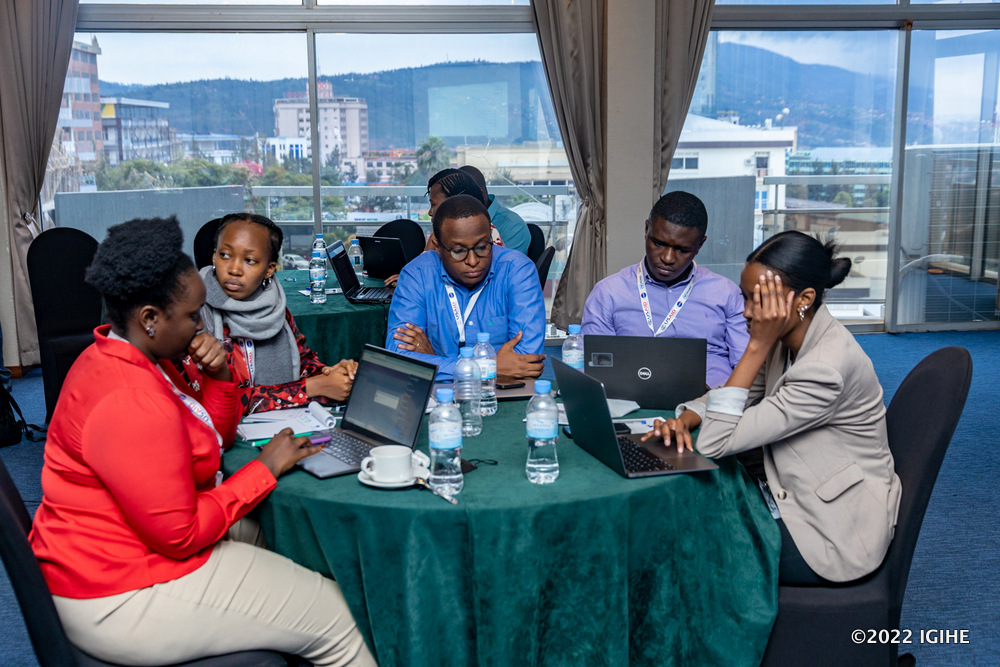
Speaking during an open day that was organized in Kigali on Monday, May 30, 2022 to showcase these technologies, Emmanuel Nkurunziza, Director General of Regional Centre for Mapping of Resource for Development (RCMRD) said that the new services will be at high level in monitoring crops and other resources.
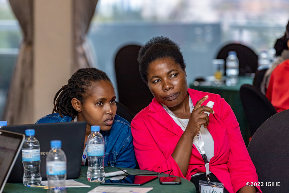
“We are here today as RCMRD for showcasing services and products that we have co-developed with our partners in Rwanda. These partners include MINAGRI, Rwanda Metrology Agency, the Land Authority and others. We are trying to develop these services to ensure that they are actually answering the questions that we have on the ground.” Nkurunziza said.
Over the years, Nkurunziza added, “this center has provided some services in Rwanda including land use and land cover mapping, and now we are doing crop mapping which is very important in monitoring crop health, it can show whether the harvest will be optimum or actually coming down.”
Developed services and products are meant to address the developmental challenges in Rwanda within the project geographical scope in the areas of Weather and Climate, Land Use Land Cover and Ecosystems, Water and Water Related Disasters.
In the past three years, the Centre and its partners has co-developed and implemented the Rwanda Crop Monitor, the Rwanda Space Challenge and Land Use Decision Support System, Agriculture and Food Security among others.

Promoting Space Science in Schools
“We also have an important program we will do with the University of Rwanda (UR) to promote the adoption of Space Science in our schools. We have a program we do with UNESCO dubbed “Space Challenge” where we bring together secondary schools in Rwanda to encourage young people to take interest in Science and Engineering. We will be doing that with UR and provide mentorship so that we have Rwanda Space Scientists.” Nkurunziza explained.
He said that this initiative will be taken to the University as an academic entity that produces future scientists.
“We need to continue upgrading young people’s skills and we hope that they can come and help us creating critical maps needed to really harness the fourth industrial revolution.” He said.
Early warning system
The center will also develop systems to protect arable wetlands from being overflowed by floods where it can give early warning information to policy makers according to Nkurunziza.
“Actually we have just established what we call community based floods early warning system in Malawi, and we have seen in newspapers last week how lives was saved by this system. Before the floods come, there is an alerting message for people to be evacuated and managed, we have evidence that it works perfectly and it can be done here as well.” Nkurunziza noted.

Dr Octave Semwaga, Director of Agriculture modernization at MINAGRI, said that the initiative gives a promise towards sustainable use of natural resources on Rwandan land.
“This is a good initiative for the Ministry of Agriculture and Animal Resources, land is the main natural resource on which we run agricultural practices, it requires to have in place a monitoring strategy to see how Agriculture and Livestock farming can be productive enough.” Semwaga said.
He said that this project will help concerned authorities to make required improvements that enable famers to benefit from their land based activities.
“Land as the major natural resource has to be well managed and monitored to make sure it is benefiting owners. On our side as MINAGRI, we have made tremendous achievements in crop monitoring and through this project, we will be looking at ways to monitor other natural resources and make sure they are benefiting citizens. We will be also setting up ways to make sure that our stakeholders are informed and that they are benefiting from the collected data.” Semwaga added.
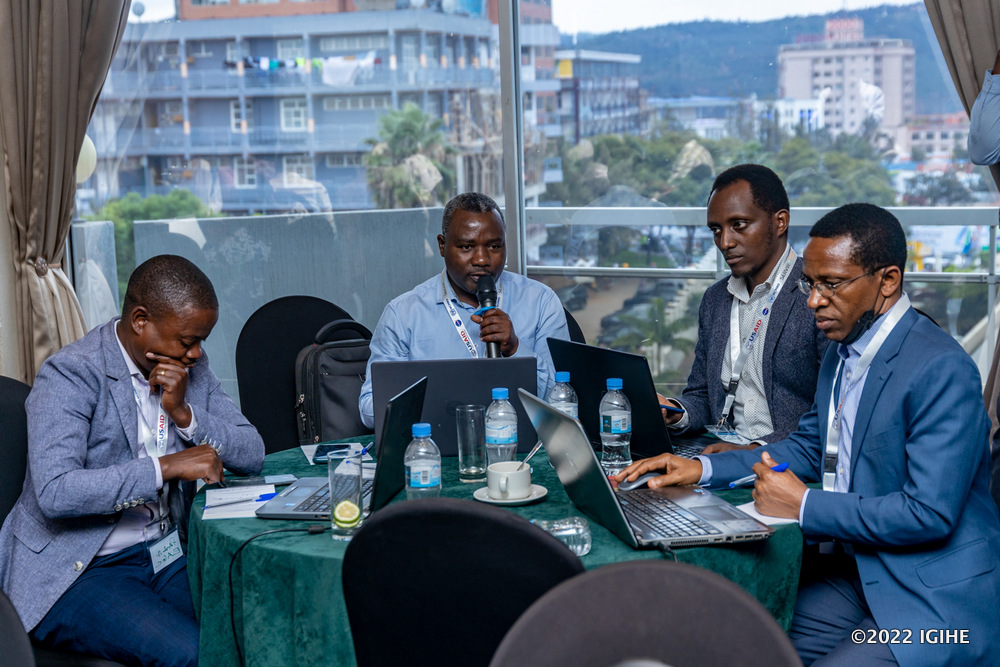
Francis Ngabo, Executive Director of Rwanda Space Agency that is mandated to develop space services for social economic development reiterated that joint efforts with other stakeholders will ensure effective and rapid mapping of land and other natural resources.
“Many things are evolving very rapidly, if you want to develop an application for urbanization monitoring for example, you cannot wait to use a map that will be updated in two years, at this time there will be many things to be done on the ground, but if you have a map that can be updated every week, you can spot a change on ground within few days which is better for policy makers and implementers on ground services.” Ngabo said.
About RMRCD
The Regional Centre for Mapping of Resource for Development (RCMRD) is an Intergovernmental Organization established in 1975 under the patronage of African Union and United Nations Economic commission for Africa (UNECA).
RCMRD’s mission is to strengthen the member States and our stakeholder’s Capacity through Generation, Application and Dissemination of Geo-information and Allied Technologies for sustainable development. It is a non-profit intergovernmental organization and currently has twenty (20) contracting member States, namely: Botswana, Burundi, Comoros, Ethiopia, Kenya, Lesotho, Malawi, Mauritius, Namibia, Rwanda, Seychelles, Somalia, South Africa, South Sudan, Sudan, Eswatini, Tanzania, Uganda, Zambia and Zimbabwe.
theinspirerpublications@gmail.com


Leave a Reply