
Rwanda Eyes Opportunities from Multi-Disciplinary Training to Varsity Students in Mapping, Monitoring Natural Resources
By Elias Hakizimana.
Rwanda’s concerned entities will no longer need to wait for natural disasters to happen to evacuate citizens who have already become victims of floods, thanks to the efforts of Development Partners to deploy promising initiatives at the varsity level.
One of the responses is a mentorship program initiated by the Regional Centre for Mapping of Resource for Development (RCMRD) to help University of Rwanda boost students’ acquired skills and transform them into competitive business ideas.
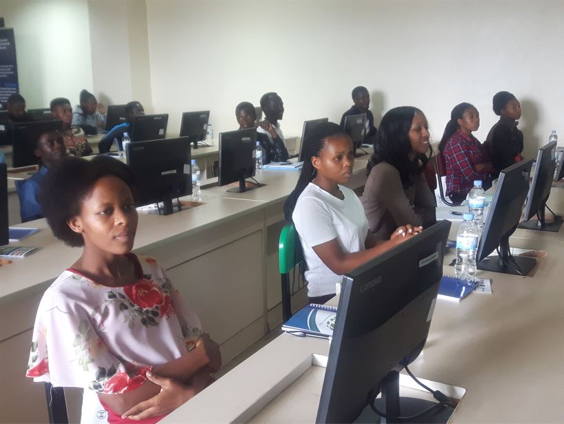
On Wednesday, June 1, 2022, RCMRD introduced a three-day workshop at the University of Rwanda’s College of Science and Technology (UR/CST) to equip its students who study at the Center for GIS and Remote Sensing (CGIS) with necessary skills to create solutions of existing gaps in early detection of disasters.

Remmy Ninsiima, a student in the third year of Environmental Planning and Geography said that the workshop is important for them to find solutions to the national problems such as landslides in the northern province of the country.
“We believe that after being well trained, we will be able to monitor the pre-exposed high risk zones so that we can map them and look for sustainable solutions.” He said.
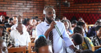
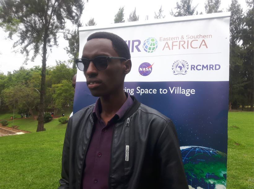 Remmy Ninsiima, a student in the third year of Environmental Planning and Geography.
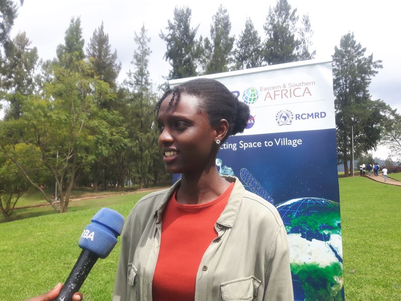
Peace Umunyana, another student in level 3 at this school said that the mentorship program will help them to know existing problems and to try to solve them using modern technologies.
“We have had some basic skills about these initiatives but we always need to boost knowledge by learning. So, this workshop will help us solve problems that the globe is experiencing.” Umunyana said.
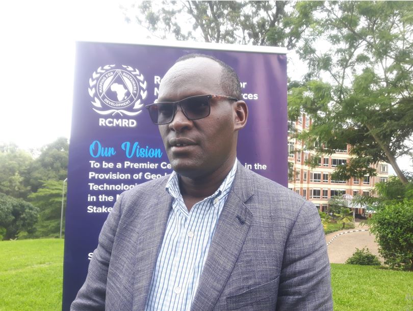
Professor Gaspard Rwanyiziri, Director of the Center for GIS and Remote Sensing (CGIS) said that the skills brought by the Regional Centre for Mapping of Resource for Development (RCMRD) was needed to continue cultivating Rwandan students in a way that responds to existing challenges to the national development.
“In fact, we really needed such skills to complement our responsibilities to offer skills to Rwandan students in bachelors and masters levels. RCMRD is now training those in the bachelors program and students really need to boost what we teach them in class. It is the reason why we signed a five-year agreement with this regional center based in Nairobi to enable students to learn from other people from the region.” Rwanyiziri said.
The Center for GIS and Remote Sensing (CGIS) that is a sub-branch of the University of Rwanda’s College of Science and Technology (UR/CST) was incepted in 1999 and its first graduates contributed to the national land registration.
“Our contribution is very clear at the national level, the city of Kigali and other provinces. Many of our graduates studied Geography and surveying in Geometrics. Today we are happy to have trainers to boost our students’ knowledge in this field and we believe they will gain a lot from this three-day training.” He said.
The center also contributes in research development on natural disasters such as droughts, floods and climate change. The research helps policy makers to deploy preventive measures and evacuate people from the high risk zones before any disaster can happen.
RCMRD has been supporting CGIS for around ten years with equipment needed to teach students.
Emmanuel Nkurunziza, RCMRD Director General said that the training will equip students with the skills to prepare satellite information, mapping in various natural resources sectors among others.
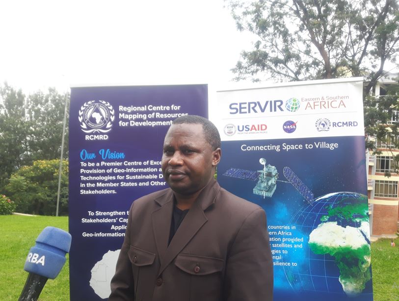
“We found this important as the technology is quickly evolving nowadays, we need to prepare students to use these skills and existing technology through feasible activities in the fields of Agriculture, Environment, and Forestry, water. We have experts in all these sectors and we will link them to students to mentor them and they will accompany them until they finish their studies.”
The move aims to fill the existing gap of lack of competitive knowledge at the labour market according to Nkurunziza.
“We want to fill such a gap by showing the labour market demand to the university and available materials, which will ease the process of helping a student to gain employment after graduation.” He added.
Through the RCMRD ‘KUZA’ and Geo-Hub programs, students’ business ideas will be turned into competitive and practical Businesses that are able to solve existing problems.
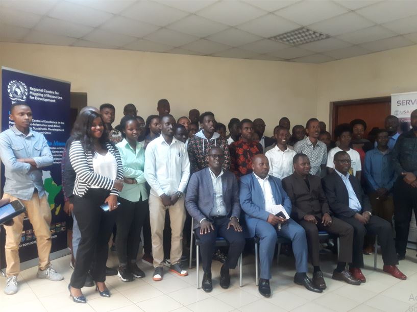
“Beyond this mentorship program where we are pairing experts and students, we also have what we call Geo-Hub where we nurture ideas within the Geospatial and space science fields, if we get an idea, we develop it, we help the idea initiator to shape it into a possible business or solution tool they can use on the field.” He said.
Grant allocation
“Beyond that, we have a small grant program and every year we call people to make applications. We give grants of up to $30.000 to each individual with successful projects in the areas of Agriculture and Food Security, water and water related disasters, land use and land cover as well as disaster management.” Nkurunziza explained.
theinspirerpublications@gmail.com
Follow us @theinspirerpubl


Leave a Reply